Coochin Creek is a locality of a few dozen people and a tidal creek of the same name, reached by Roys Road east from the Bruce Highway through the Beerburrum pine plantations. The ramp at the end is a single concrete lane at an eight per cent grade with a car park of about 15 bays and nothing else; the Coochin Creek camping area in the state forest is nearby. The state register lists it as usable on all tides, though the creek is narrow and muddy at the edges.
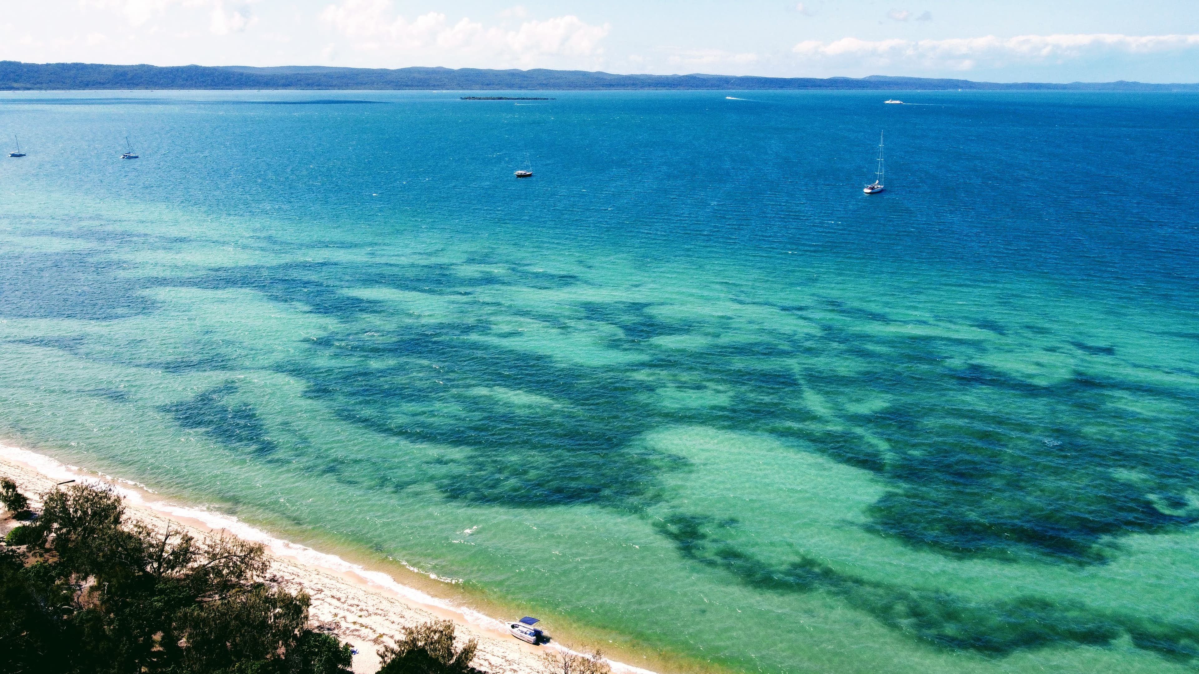
The creek winds a few kilometres east to the Pumicestone Passage opposite the top half of Bribie Island, and it is a tinnie and kayak launch first: bream, flathead, jack and mud crabs in the mangroves, and the Passage flats and Bribie's national park beaches beyond. The middle Passage is shallow and banked; keep to the markers and observe the go-slow zones for dugong.
Donnybrook and Toorbul to the south and the Golden Beach ramps to the north are the alternatives. Marine Rescue Queensland Caloundra and Bribie Island share the Passage on VHF 16.