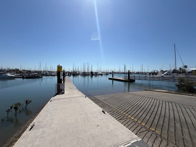
The southern of Manly's two public ramps sits at the bottom end of the state boat harbour, below the Wynnum Manly Yacht Club and the Moreton Bay Trailer Boat Club. Three concrete lanes at a ten per cent grade with a floating walkway, toilets and a tap, and a car park of about 115 bays. The state register lists it as usable on all tides and the harbour is dredged, so the only tide question is the flats outside the entrance on a low spring, which the marked channel avoids.
It is a little quieter than the four-lane northern ramp on Fairlead Crescent, though on a calm winter Saturday both car parks are full by mid-morning. Six knots applies throughout the harbour; keep clear of the yacht club marinas and the channel. Outside, Green Island is close, with St Helena, Peel Island, the Rous Channel and Moreton Island within a trailer boat's range.
Manly village has cafés and fuel; the harbour has marinas, chandleries and travel lifts. Marine Rescue Queensland Brisbane is based in the harbour and monitors VHF 16 and 73.
A note on these photographs
The photographs above are from Wikimedia Commons and are used under their Creative Commons licences; each caption gives the year, because the facility may have changed since.
