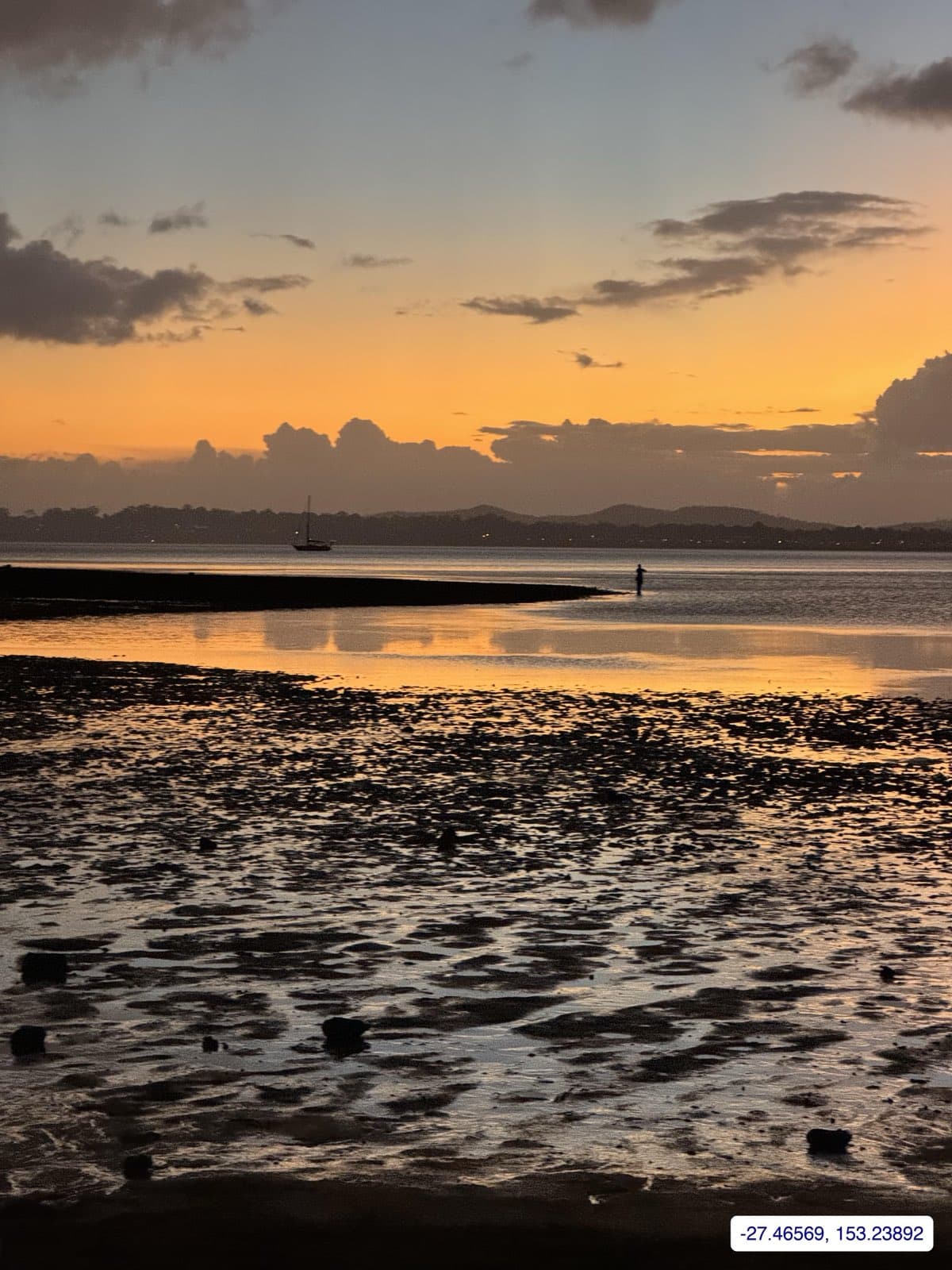
Wellington Point is a foreshore reserve with a jetty, a playground and a row of cafés, and the boat ramps along Main Road are among the busiest in the Redlands. Council lists four separate launch points here; the main one is the four-lane ramp with a pontoon south of the jetty, and there is a two-lane northern ramp that council rebuilt between July and October 2020 to give an alternative when a strong south-easterly makes the middle ramp awkward. Toilets, water and about 70 bays.
The state register flags the facility as tide-limited, and it is the defining fact of the place: the sand and seagrass flats off the point dry hundreds of metres out, the channel is shallow and rocky, and for years locals have petitioned for dredging. Launch and return on the mid to high tide, and leave the beach launching to the kayaks. From the point it is a short run to King Island (walkable at low tide), Green Island, Peel Island and the bay.
Raby Bay (William Street) at Cleveland is the all-tide alternative. Marine Rescue Queensland Raby Bay monitors VHF 16.
A note on these photographs
The photographs above are from Wikimedia Commons and are used under their Creative Commons licences; each caption gives the year, because the facility may have changed since.
