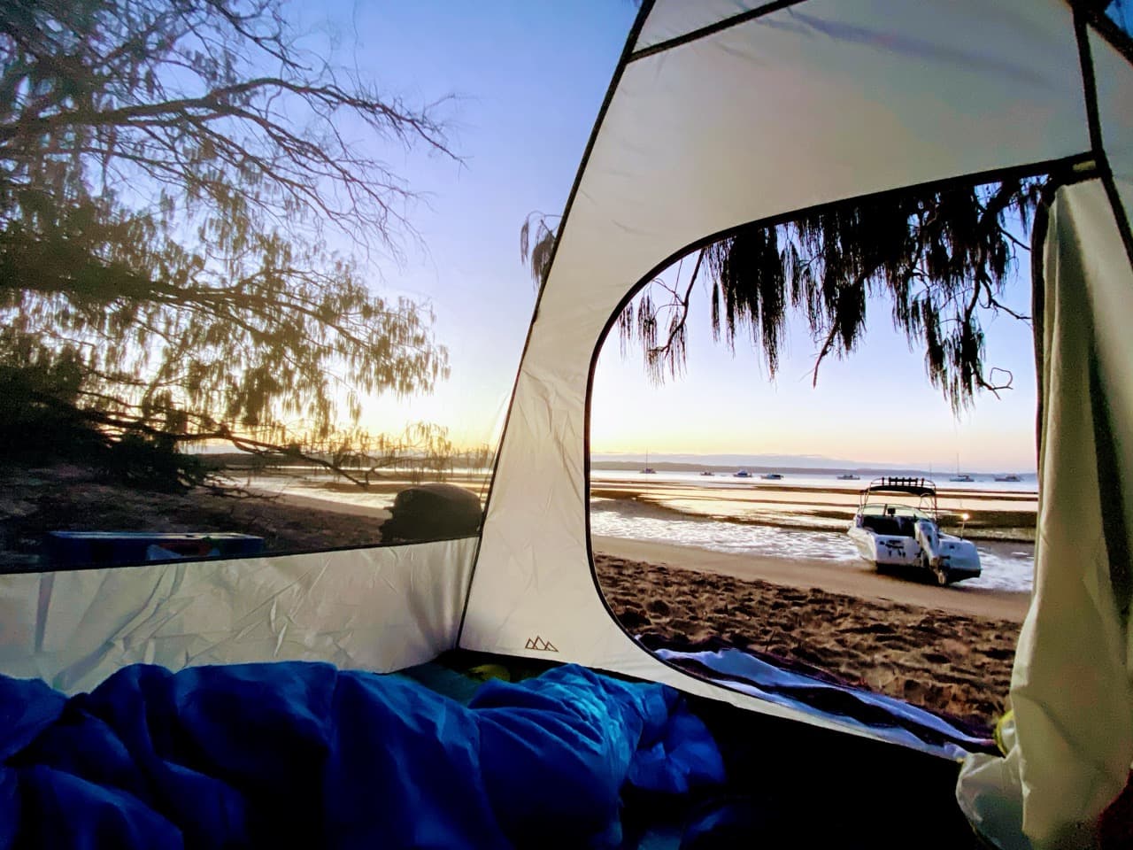
Peel Island is a small national park in the middle of Moreton Bay, about 11 km from the Raby Bay ramp to the beach at Horseshoe Bay. In decent weather that is fifteen minutes ramp to sand. The proximity is the whole appeal: it is close enough to be a spur-of-the-moment afternoon and good enough to be a weekend.
Getting there
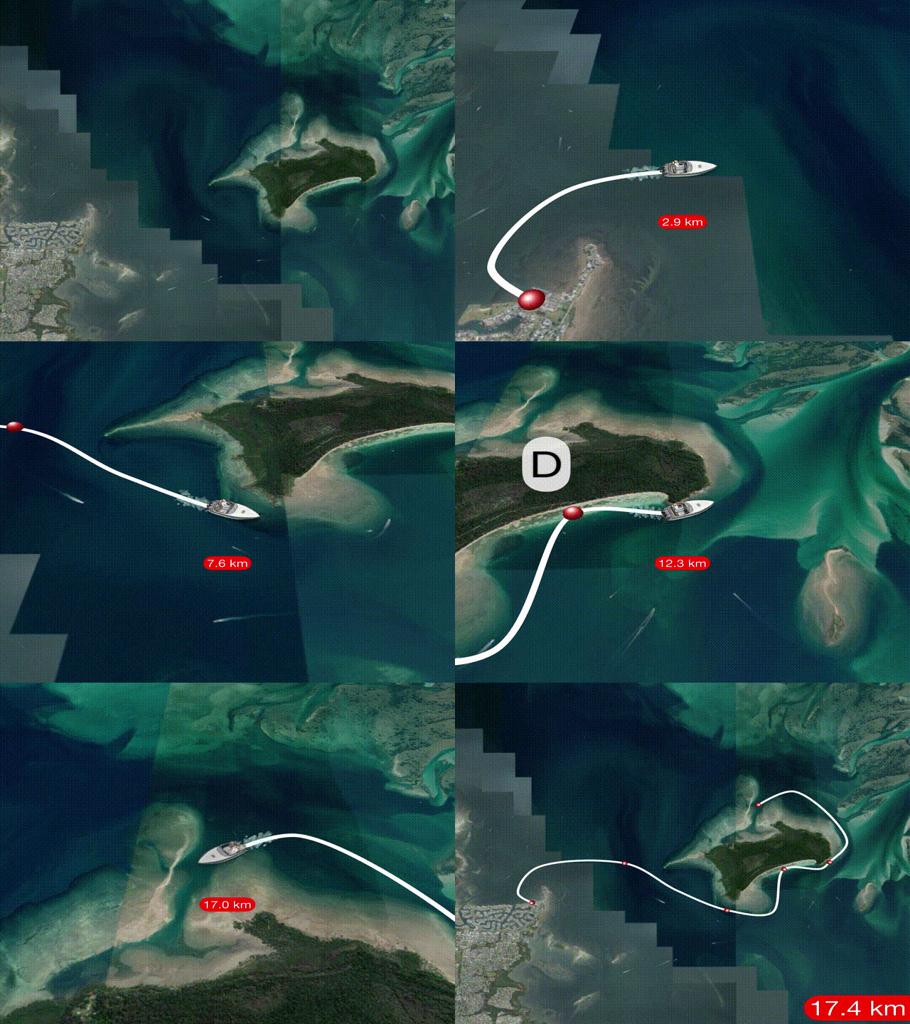
Launch from Cleveland (Raby Bay), head north out of the canals, then steer east. Peel is obvious once you are past Cleveland Point. Aim for the southern side and watch for traffic and for wildlife: turtles, dugong, dolphins, and whales in season.
Give the South West Rocks a wide berth, and keep to the right of the green markers on the way out from the mainland. You will pass two green lateral beacons and a black-and-yellow cardinal before you lay a course for the beach. The amenities are on the eastern Horseshoe side.
| Waypoint | Coordinates | |
|---|---|---|
| A | Cleveland (Raby Bay) boat ramp | -27.514740, 153.285382 |
| B | West Peel artificial reef | -27.500894, 153.313259 |
| C | Caution: South West Rocks | -27.517422, 153.343801 |
| D | Horseshoe Bay anchorage | -27.505098, 153.363009 |
| E | Horseshoe Bay toilets | -27.500181, 153.363790 |
| F | Wreck of the Platypus (1926) | -27.500345, 153.374122 |
| G | Heritage settlement - off limits | -27.495225, 153.345195 |
| H | Northern Peel anchorage | -27.480278, 153.352819 |
There is a recording of the run across if you would rather watch the route than read it.
Where to anchor
Horseshoe Bay on the south and south-west is the one everybody knows, and the turquoise water in the photographs is real. North Peel is the alternative when the southerly is up.
The sand shelf runs a long way out, roughly 200 to 250 metres off the beach, and it does not care how good your day was going. Come in on a rising tide of a metre or more and give yourself somewhere to go.
Tides are the number one consideration here. Assume about a metre of draft, and arrive and leave with at least that much under you. If you do get beached, expect to wait four or five hours to refloat.
Safety
Check your safety gear, your comms, the weather, the sea state, the tide and the current before you go. Maritime Safety Queensland has the resources for all of it.
Peel sits within smooth waters (last checked 13 September 2022), and smooth and partially smooth waters carry different mandatory equipment:
For peace of mind, get familiar with VMR Raby Bay or Coast Guard QF2 Brisbane before you need either of them.
What is there
Horseshoe Bay for swimming and for doing nothing in particular. Platypus Bay on the south-east holds the 1884 bucket dredger Platypus, sunk deliberately in October 1926 to shelter the lazaret jetty. The bluff between the two is called, without much ceremony, The Bluff.
Fishing is snapper, bream, whiting, mackerel, cod and trevally. Dogs are allowed up to the high tide mark. Camping needs a permit through Queensland National Parks.
Things to do
Relax
Horseshoe Bay is tailor-made for a lazy beach day. There is a drop toilet on the eastern side. The south channel stays busy enough to make boat-watching a pastime. Bring a small gas or liquid-fuel barbecue, as open fires and generators are banned.
Fishing
Popular, and often tight for space. Expect bream, flathead, whiting, cod, trevally, squid, tuskfish, spangled emperor, coral trout, nannygai, parrotfish, juvenile red emperor and sweetlip. There is a detailed fishing guide for Peel and its surrounds worth reading before you go.
Snorkelling and swimming
Usually calm and protected, but mind the props. For a little more adventure, head round to Platypus Bay and have a look at the Platypus wreck.
Beach stroll and photography
Most of Teerk Roo Ra National Park is conservation area with restricted access. The north-western side holds Australia's only example of an intact, isolated, multicultural lazaret. There are more than seventy identified bird species, so bring a camera, and bring Aerogard.
Dogs?
National park rules mean no domestic animals above the high tide mark. The signs near -27.504, 153.355 put it plainly: "Dogs are permitted in the marine park below the high water mark." Be responsible, clean up, and keep them below the HWM. As with most of Queensland, dogs must be on-leash unless they are in a designated off-leash area.
Before you go
The lazaret is a protected heritage site and access to it is restricted. It held Queensland's leprosarium from 1907 until 1959 and is among the most intact sites of its kind in Australia. Check the current conditions of entry before you plan a landing.
There is a toilet on the eastern side of Horseshoe Bay. There is no tap and no rubbish collection: carry water in, and carry everything else back out.